Conditions described here were accurate only as of the date shown and may have changed. This is not a substitute for current official information from the agency with jurisdiction. See the full notice. Full notice.
Winter Storm Warnings Replace Watches Across the Sierra
The National Weather Service now expects up to 4 feet of snow on the highest Sierra terrain from Wednesday to early Friday, and says mountain travel could become very difficult to impossible.
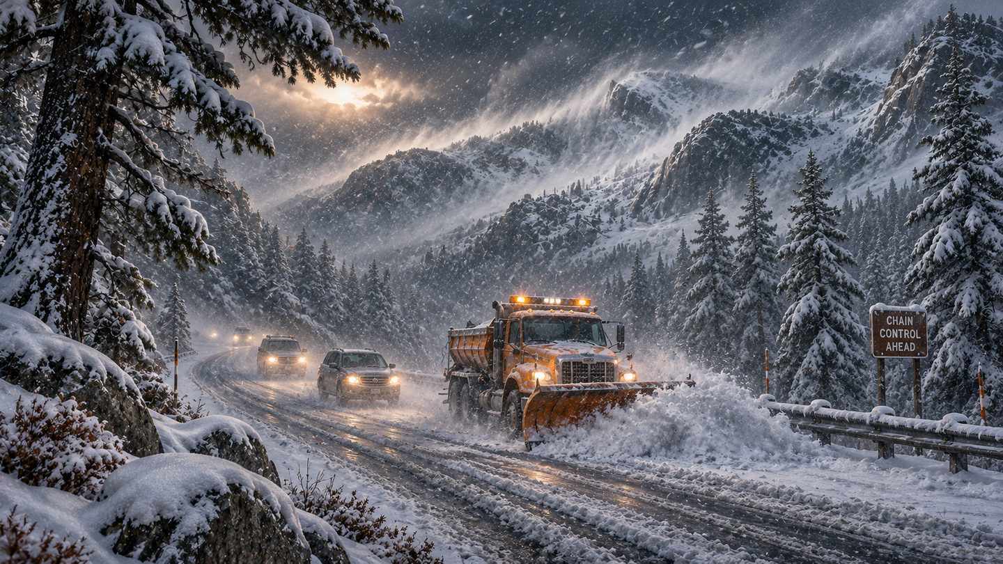
The National Weather Service upgraded Monday's winter storm watches to warnings overnight for the storm due in the Sierra Nevada from Wednesday into early Friday. The forecast totals went up with them.
For the Greater Lake Tahoe area, the warning runs from 4 a.m. Wednesday to 4 a.m. Friday and calls for 2 to 4 feet of snow above 7,000 feet, 1 to 2 feet at lake level and gusts up to 80 mph on the ridges, ABC7 San Francisco reported Tuesday morning. That is up from 2 to 3 feet and 8 to 18 inches in Monday's watch. ABC7 said a separate warning for the western Sierra starts at 10 p.m. Tuesday, with up to a foot possible between 4,000 and 5,000 feet.
Farther south, the Hanford office's warning for the Sierra above 5,000 feet, issued just before 1 a.m. Pacific, covers the same 4 a.m. Wednesday to 4 a.m. Friday window. It calls for 1 to 2 feet above 5,000 feet, about 4 feet above 8,000 feet and gusts to 45 mph, and warns of falling branches and slick bridges. East of the crest, the Reno office's warning for Lassen, eastern Plumas and eastern Sierra counties calls for 6 to 12 inches above 5,500 feet, locally up to 2 feet west of US 395, with ridgetop gusts to 70 mph.
All of the warnings say travel could be very difficult to impossible, and the Wednesday and Thursday commutes will be hit hardest. ABC7 says Tuesday daytime is the best window to drive up, and Tahoe ski industry veteran Kevin Cooper told the station that Interstate 80, US 50 and State Route 88 could all turn dangerous. I-80 over Donner Summit was already closed by spinouts last Friday.
Showers and icy roads may linger Friday, and ABC7 says another storm could arrive late in the weekend. Carry chains, food, water and warm clothes, and check Caltrans QuickMap or call 511 before leaving.
Sources
- ABC7 San Francisco, Tahoe winter storm: what to know about traveling to the Sierra Nevada (Nov. 17)
- National Weather Service Hanford, winter storm warning issued Nov. 17, 12:54 a.m. PST (via Defcon Level)
- National Weather Service Reno, winter storm warning issued Nov. 17, 1:44 a.m. PST (via Defcon Level)
- Caltrans QuickMap