Overland Expo has posted its 2027 schedule, and the season starts in Costa Mesa, California, on March 13-14 with Overland Expo SoCal at the OC Fair & Event Center. Overland Expo West, the biggest in the series, returns to Fort Tuthill County Park in Flagstaff, Arizona, May 14-16, and Overland Expo PNW follows in Redmond, Oregon, June 25-27.
Overland Expo Mountain West moves to Riverdale Regional Park in Brighton, Colorado, for August 20-22; it was in Loveland in 2026. Overland Expo East closes the season at Oak Ridge Estate in Arrington, Virginia, October 22-24. In its 2026 review, Overland Expo said West drew 28,500 people and 420 exhibitors, and SoCal 19,000.
advisorySouth Rim: Stage 1 fire restrictions; Stage 4 water conservation; North Rim Stage 2 staysGrand Canyon National Park, ArizonaMather Campground fires only in established rings; bring your own waterchecked Nov 4
Grand Canyon National Park lifted Stage 2 fire restrictions on the South Rim effective immediately on November 4, the park said; they had been imposed because little water was available for fighting fires, and continued water hauling now supplements the South Rim's supply. Stage 1 restrictions remain on the South Rim, and campfires at Mather Campground are allowed only in established fire rings. Stage 4 water conservation measures also stay in place, so bring your own water. On the North Rim, Stage 2 restrictions remain for the rest of the 2026 season.
Up to 18 inches in the Sierra high country and Colorado's San Juans and up to two feet in Utah's Cottonwood Canyons, with chain controls and difficult travel through Monday.
The first widespread mountain snowstorm of the season is crossing the West this weekend, and the National Weather Service has winter storm warnings and advisories from the Sierra Nevada to the Rockies.
In California, a winter weather advisory runs until 7 a.m. Sunday for Yosemite outside the valley, Sequoia and Kings Canyon, with 4 to 8 inches between 7,500 and 9,500 feet and up to 18 inches higher up. The northern Sierra, including Interstate 80 and Highway 50, could see up to 10 inches above 7,000 feet, with chain controls possible, and the Lake Tahoe area 2 to 5 inches above 7,000 feet. Nevada's Ruby Mountains and East Humboldt Range are under a winter storm warning through Sunday evening, with 12 to 16 inches above 7,500 feet and snow-covered roads through Lamoille Canyon.
advisoryFlash flood watches: Big Bend and West Texas mountains, Sedona and Oak Creek, Superstitions, Sacramento MtnsArizona · New Mexico · West TexasThrough Fri Oct 30; burn scars and slot canyons most at riskchecked Oct 29
Tropical moisture is bringing storms to Big Bend, the Guadalupe and Davis mountains, Sedona's canyons, the Superstitions and New Mexico burn scars. Stay out of washes, slot canyons and swimming holes.
The National Weather Service has flood and flash flood watches across much of the Southwest's best hiking country as another surge of tropical moisture meets an incoming storm system. In West Texas and southeast New Mexico, a watch runs through Friday afternoon for areas including the Chisos Basin and Lower Brewster County in Big Bend, the Guadalupe and Delaware mountains, the Davis Mountains and the Marfa Plateau. In New Mexico's Sacramento Mountains, the Albuquerque office warned of storms repeatedly crossing burn scars Thursday afternoon and evening, with 1 to 1.5 inches of rain possible.
In Arizona, the Flagstaff office has a flash flood watch from 10 a.m. to 10 p.m. Friday for Yavapai County, including Oak Creek and Sycamore canyons around Sedona, and northern Gila County, where soils are still saturated from flooding last week; it warns of flooding in creeks, normally dry washes, swimming holes and recently burned areas, with half an inch to an inch of rain and up to two inches in storms. The Phoenix office has watches Friday for the Superstition and Mazatzal mountains, the Tonto Basin and the Phoenix metro area.
Grand Canyon National Park is taking public comments through midnight November 11 on a plan to remove sections of the historic Trans-Canyon Telephone Line, which runs through the inner canyon along the Bright Angel and North Kaibab trails with a spur toward the South Kaibab. Rebuilt by Civilian Conservation Corps crews in 1935 and listed on the National Register of Historic Places, the line has loose, hanging and fallen wire that endangers helicopters during rescues and can entangle wildlife, the park says. It proposes removing wire where needed and marking what stays, while leaving the historic poles, cross-arms and insulators in place. Comments go through the National Park Service's planning website.
openSouth Kaibab below The Tipoff; River Trail; Bright Angel, Mile-and-a-Half Resthouse to Havasupai Gardens (hikers only)Grand Canyon National Park, ArizonaBlack and Silver bridges, Phantom Ranch, North Kaibab still closedchecked Oct 27
Bright Angel reopens to hikers between Mile-and-a-Half Resthouse and Havasupai Gardens. Phantom Ranch, both river bridges and the North Kaibab stay closed, and there is no water on the trail all winter.
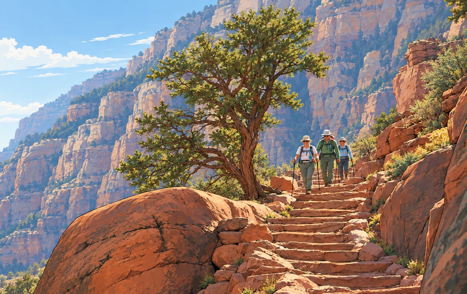
An illustration of hikers on an inner-canyon trail. Not a photo of the South Kaibab or River trails. Illustration
Several inner-canyon trails at Grand Canyon National Park have reopened after repairs to flood damage, the park said October 26: the South Kaibab Trail below The Tipoff, the entire River Trail connecting the South Kaibab and Bright Angel trails, and the Bright Angel Trail between Mile-and-a-Half Resthouse and Havasupai Gardens. That Bright Angel section is open to hikers only; it stays closed to mules and other stock while crews repair more damage.
Expect intermittent closures and delays on the Bright Angel as technical repairs continue, and follow crew instructions. Water is off at Mile-and-a-Half and Three-Mile resthouses and at Havasupai Gardens for the rest of the winter, so carry all the water you need plus a way to filter or treat more.
Grand Canyon National Park is taking public comments through midnight November 6 on a draft agreement with Arizona's historic preservation office on ways to make the replacement water tank at Hermits Rest less visible. The 2022 tank was meant to look like the old one, but Arizona safety rules added a ladder, platform and cap that stand out in the Hermits Rest National Historic Landmark. The project is separate from the park's broader water system repairs; the draft and comment form are on the park's planning site.
New Mexico closed Bear Management Zone 1 to hunting on October 16 after its harvest limit was reached. With Zones 2, 3, 9, 10 and 12 already closed, six zones are now shut. Confirm a zone is open before every hunt on the Department of Wildlife's website or the Bear and Cougar Closure and Harvest Hotline, 877-950-5466.
Arizona Game and Fish is warning hunters that the Rough Rider, a three-day gravel bike race, runs October 30 through November 1 in the Prescott area, on the second weekend of the general deer hunt. Riders will be in the Camp Wood area in Units 17A and 17B on Friday, the Mt. Union area of the Bradshaw Mountains in 20A on Saturday, and Copper Basin and Skull Valley in 20A and 17B on Sunday. Route maps are on the race's website; the department asks hunters and cyclists to be aware of each other.
New Mexico closed Bear Management Zone 10 to hunting on October 9 after its harvest limit was reached, the Department of Wildlife says. Zones 2, 3, 9, 10 and 12 are now closed and all others remain open. Hunters must confirm a zone is open before every hunt, on the department's website or the Bear and Cougar Closure and Harvest Hotline, 877-950-5466.
Zion National Park reopened visitor access on the Zion-Mount Carmel Highway today, October 9, the park said. Part of the highway had been closed since September 30, when a large rock formation collapsed onto it, damaging the road and blocking travel. The 7.5 miles from the East Entrance to the Great Arch Overlook reopened October 6 for scenic driving and day use.
Crews have cleared the rock and removed the damaged asphalt, but the scale of the repair means the rockfall section is temporary gravel for now, with repaving planned in the near future. Drive carefully through the work zone and watch for vehicles and people. The South Entrance, the shuttle system and Zion Canyon Scenic Drive have operated normally throughout.
The Cibola National Forest is preparing an environmental impact statement on Roca Honda Resources' plan for an underground uranium mine on the Mount Taylor Ranger District, on National Forest, BLM, state and private land, and is taking scoping comments through October 14. The Forest Service expects the mine would need a project-specific amendment to the forest's land management plan. EPA Region 6 and BLM's Rio Puerco Field Office are cooperating agencies. Instructions for commenting are in the Federal Register notice, under project number 301824.
The 11th Rebelle Rally begins Wednesday. The women-only off-road navigation competition runs October 7 through 17 across California, Nevada and, for the first time, Utah, covering roughly 1,500 miles. There is no GPS and no phones; teams of two navigate by paper map and compass, and the rally is scored on finding checkpoints, not on speed.
Wednesday's welcome and technical inspection, at the Westin Lake Las Vegas in Henderson from 10 a.m., is open to the public and is the one chance to see the vehicles up close. The official start is Thursday morning on Pit Road at Las Vegas Motor Speedway, a first for the event, but that is limited to team guests, rally guests and invited media. After that the rally goes off grid, and the organizers post live tracking and updates from October 9 through 16 rather than offering spectator access.
Starting today, the Bear Canyon Wildlife Management Area near Mimbres, New Mexico, is closed to all public access Monday through Thursday. It stays open Friday through Sunday for regular use. The New Mexico Department of Wildlife expects the weekday closures to last through the end of the year, with normal access back in January 2027.
The closures cover heavy-equipment work with the U.S. Army Corps of Engineers on a project that captures and holds sediment washing off the burned watershed. Hunters and anglers planning a midweek trip should move it to the weekend and watch for posted closure signs.
The New Mexico Department of Game and Fish is asking elk hunters in Game Management Unit 34 to bring in the heads of their animals for chronic wasting disease testing. CWD has been found in the unit before, and the department wants to see how far it has spread.
A collection station will run October 17 through 21 at the intersection of the Sunspot Highway and the Cox Canyon Highway, State Road 130. Bring the head in within 48 hours of the kill; keeping it cold or on ice, but not frozen, can stretch that window. Testing is voluntary, and hunters who take part are entered in a draw for an elk or oryx authorization.
Riders planning a mid-October trip to the Standard Wash OHV Area near Lake Havasu City should plan around the 2026 Raptor Rally 003. The Bureau of Land Management's Lake Havasu Field Office will temporarily close and restrict selected public land in the open area from 11:59 p.m. October 14 through 11:59 p.m. October 17, the agency announced October 1.
Land in and around the event will be closed, restricted, or set aside as spectator areas. The BLM will mark closed and restricted areas at key access points with signs, fencing or barriers. In past race closures at Standard Wash, the racecourse itself was closed to public entry and the rest of the open area was placed under restrictions, but the boundaries are set event by event, so check this year's map rather than last year's.
advisoryCape Royal and Point Imperial roads; North Rim Campground and storeCoconino Co., ArizonaRoads closed sunset Oct 15 to sunrise Nov 3checked Oct 1
Grand Canyon's North Rim moves to modified fall operations on October 15. Cape Royal Road and Point Imperial Road will close from sunset October 15 to sunrise November 3 for repair and rehabilitation work with the Federal Highway Administration, the park said September 30.
Services end the same week. The North Rim Backcountry Information Center closes for the season at noon October 15, and the General Store at 4 p.m. that day. The North Rim Campground closes the morning of October 16. The gas station closed September 19, and there is no fuel in the park; the nearest food, fuel and lodging is at Jacob Lake, about 45 miles north, with more in Fredonia and Kanab.
Command of the Plaskett Fire on the Big Sur coast transfers back to Los Padres National Forest today, Tuesday, and the Timber Fire moves to Nevada Team 2, with the handover due to finish at 6 p.m. CAL FIRE says suppression repair is well along on all lines, crews are mopping up remaining heat along the Highway 1 corridor, and no fire spread is expected. A smaller team does not mean the land is open: the Monterey Ranger District closure that took effect Saturday stays in force through January 31.
The Eldorado and Tahoe national forests close their public comment periods on proposed recreation fee changes at the end of business on September 29. Both cover campgrounds, cabins and day-use sites, and the Eldorado proposal also reaches wilderness overnight permits and Christmas tree permits. Comments go to the named recreation officer at each forest and then to a regional advisory committee.
Smoke from the Dome Fire reached Douglas County in Nevada on Tuesday, well east of the fire itself, and satellite mapping shows it and a second fire burning actively through the night. If you are camping anywhere downwind this weekend, air quality is the thing to check rather than the fire perimeter: a camp fifty miles from a closure can still be unpleasant or genuinely inadvisable for anyone with a respiratory condition. AirNow is the reference.
Several trails in Spooner Lake Backcountry close during weekday construction hours this season, affecting North Canyon Road, the Marlette Lake and Marlette Creek trails, Hobart Road and the Marlette Flume Trail south of the rock slide. Mount Rose Summit Campground was scheduled on reservations only through September 10, so treat it as shut. Dispersed camping is prohibited inside Lake Tahoe Nevada State Park between Tunnel Creek and Spooner Summit, which catches out people looking for a free night on the east shore.
The Eldorado and Tahoe national forests both put fee changes out for public comment on July 31, covering campgrounds, cabins, day-use sites and, on the Eldorado, wilderness overnight permits and Christmas tree permits. Comments on both close at the end of business on September 29.
They are not alone. Six Rivers opened a comment period in May that ran to September 15. Green Mountain and Finger Lakes in Vermont and New York, and Helena-Lewis and Clark in Montana, ran their own this year. Several reached the Federal Register earlier this month.
Flash flooding through the Bright Angel and Phantom Ranch area at the end of August killed at least one person and left others unaccounted for. It also badly damaged the sole pipeline carrying water to millions of visitors a year, complicating a multi-year project already underway to replace the line. Check conditions and water availability before any inner-canyon plan this autumn.