noticeWinter rainbow trout stockingStatewide, Texas319,915 trout, Nov 24 to Mar 5; 5 a day statewide, special limits on parts of the Guadalupechecked Nov 17
Texas Parks and Wildlife plans to stock 319,915 rainbow trout this winter, starting Tuesday, Nov. 24, and running through March 5, the department announced Tuesday. Dates and locations can change with weather.
Stockings include the Guadalupe River below Canyon Lake, which stays cool enough for trout year-round; the Brazos River below Possum Kingdom Lake; parts of the Frio and South Llano rivers; the Clear Fork of the Trinity River; dozens of city and county park ponds; ponds at the Texas Freshwater Fisheries Center; and 18 Neighborhood Fishin' lakes, including sites in Amarillo, Austin, Dallas-Fort Worth, Houston, San Angelo, San Antonio and Wichita Falls.
The statewide bag limit is five trout a day with no minimum length, except on parts of the Guadalupe River that have special limits. Anglers 17 and older need a fishing license with a freshwater endorsement. No license is needed to fish from a bank, dock or pier in a Texas state park, and the department suggests reserving a day pass ahead on weekends and holidays. At community fishing lakes, and from docks, piers and jetties in state parks, anglers may use no more than two poles.
"Beginning each fall, TPWD staff look forward to providing anglers across Texas opportunities to enjoy the outdoors," said Ryan Rogers, who runs the department's rainbow trout program. The stop-by-stop schedule is on the department's trout stocking page.
Trails Offroad posted a guide to the Laurel Lakes trail outside Mammoth Lakes, California. Check conditions before planning a trip: winter storm warnings cover the Sierra through Friday. Videos play from the creator's own YouTube channel. Outdoor Unc does not take payment to feature a video.
closedMountain Loop Highway, Bedal Campground to Barlow PassSnohomish Co., WashingtonClosed to motor vehicles for the winter from Mon, Nov 16; open to hiking, snowshoeing and skiingchecked Nov 17
The Mt. Baker-Snoqualmie National Forest's seasonal closure of the Mountain Loop Highway between Bedal Campground and Barlow Pass took effect Monday, Nov. 16, as scheduled. The road is closed to motor vehicles for the winter but stays open to people on foot, snowshoes and skis.
closedWonderland Trail, Carbon River Suspension Bridge to Frozen Lake; Northern Loop, Berkeley Park to the Carbon River; Grand Park area; Sunrise trails north of Sourdough RidgeMount Rainier National Park, WashingtonUntil further notice; Garda Falls Fire about 308 acres (Nov 16); Carbon River and Ipsut Creek camps openchecked Nov 17
Mount Rainier National Park said Nov. 16 that the Garda Falls Fire has grown to about 308 acres, roughly double its size on Oct. 19, helped by dry air and warm temperatures, and could still spread into the West Fork drainage. The Wonderland Trail stays closed from the Carbon River Suspension Bridge to Frozen Lake near Sunrise, with the Northern Loop from Berkeley Park to the Carbon River, the Grand Park area including the Huckleberry Creek Trail, and Sunrise trails north of Sourdough Ridge, all until further notice. Carbon River Camp, Ipsut Creek Camp and the Carbon River crossings remain open, and no full Wonderland circuit permits are being issued.
openEast Potomac Park south of Buckeye Drive, including Hains Point, Ohio Drive and the golf course groundsWashington, D.C.Temporary restraining order keeps it open through Nov 28 unless the court rules sooner; limited closures allowed for seawall repairs and safety; golf operations unclearchecked Nov 17
U.S. District Judge Ana C. Reyes on Nov. 14 issued a temporary restraining order blocking the National Park Service's planned Nov. 15 closure of East Potomac Park south of Buckeye Drive, WJLA reported. Hains Point, Ohio Drive, the waterfront paths and fishing areas must stay accessible through Nov. 28 unless the court rules again first; limited closures are allowed for active seawall repairs and imminent safety threats. Whether regular golf continues at the East Potomac course was left to the government and remained unclear.
advisoryWinter storm warnings, 4 a.m. Wed. to 4 a.m. Fri.Sierra Nevada, Lake Tahoe and northeastern CaliforniaTahoe: 2–4 ft above 7,000 ft, 1–2 ft at lake level, ridge gusts to 80 mph. Southern Sierra: 1–2 ft above 5,000 ft, about 4 ft above 8,000 ftchecked Nov 17
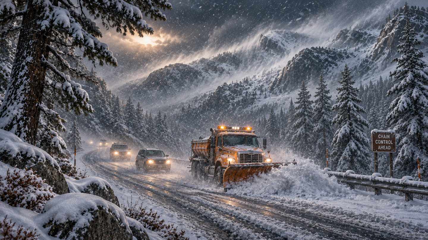
The National Weather Service now expects up to 4 feet of snow on the highest Sierra terrain from Wednesday to early Friday, and says mountain travel could become very difficult to impossible.
AI-generated editorial illustration of a Sierra winter storm. Illustration
The National Weather Service upgraded Monday's winter storm watches to warnings overnight for the storm due in the Sierra Nevada from Wednesday into early Friday. The forecast totals went up with them.
For the Greater Lake Tahoe area, the warning runs from 4 a.m. Wednesday to 4 a.m. Friday and calls for 2 to 4 feet of snow above 7,000 feet, 1 to 2 feet at lake level and gusts up to 80 mph on the ridges, ABC7 San Francisco reported Tuesday morning. That is up from 2 to 3 feet and 8 to 18 inches in Monday's watch. ABC7 said a separate warning for the western Sierra starts at 10 p.m. Tuesday, with up to a foot possible between 4,000 and 5,000 feet.
Farther south, the Hanford office's warning for the Sierra above 5,000 feet, issued just before 1 a.m. Pacific, covers the same 4 a.m. Wednesday to 4 a.m. Friday window. It calls for 1 to 2 feet above 5,000 feet, about 4 feet above 8,000 feet and gusts to 45 mph, and warns of falling branches and slick bridges. East of the crest, the Reno office's warning for Lassen, eastern Plumas and eastern Sierra counties calls for 6 to 12 inches above 5,500 feet, locally up to 2 feet west of US 395, with ridgetop gusts to 70 mph.
All of the warnings say travel could be very difficult to impossible, and the Wednesday and Thursday commutes will be hit hardest. ABC7 says Tuesday daytime is the best window to drive up, and Tahoe ski industry veteran Kevin Cooper told the station that Interstate 80, US 50 and State Route 88 could all turn dangerous. I-80 over Donner Summit was already closed by spinouts last Friday.
Showers and icy roads may linger Friday, and ABC7 says another storm could arrive late in the weekend. Carry chains, food, water and warm clothes, and check Caltrans QuickMap or call 511 before leaving.
Palisades Tahoe will open for the season on Saturday, Nov. 21, from 9 a.m. to 4 p.m., four days ahead of its planned Nov. 25 date. The resort says it moved the date because of recent snowfall and will post the lifts and terrain for opening day later this week. SnowBrains, citing the resort, reports 26 inches of new snow above 7,000 feet by Monday. Lift tickets are $99 from Nov. 21 to 24.
Dodge Ridge in Tuolumne County is aiming for the same Saturday, ABC7 San Francisco reports. Both dates fall right after this week's storm, which could add several more feet in the Sierra, so check the resort's own page and the roads before driving up.
In Utah, the Deseret News reported Monday that Brian Head planned to open on Tuesday, Nov. 17, as the state's first ski area of the season. The resort had first planned Nov. 6 and later Nov. 20. The paper's own photo caption gives Wednesday, so check Brian Head's site before going.
Alta has gone the other way. It moved its opener from Friday, Nov. 20, to Wednesday, Nov. 25, conditions permitting, saying there was not yet enough snow, Powder reports. The Deseret News still lists Park City Mountain and Solitude for Nov. 20, with Snowbasin and Snowbird on Nov. 27. Eagle Point will not open this season because of wildfire damage.
Outdoor Unc's snow report has the 10-day forecast, snow depth and avalanche danger for each ski area, with links to their official reports.
closedSouth Kelbaker Road, Kelso to the preserve's southern boundary near I-40San Bernardino Co., CaliforniaClosed from Nov. 16 for road work; the park says 12 to 18 months. Kelso Dunes and Granite Pass/Kelbaker Boulders primitive camping closedchecked Nov 17
Mojave National Preserve has started a $66.5 million rebuild of about 42 miles of road. The first phase shuts Kelbaker Road south of Kelso and two primitive camping areas.
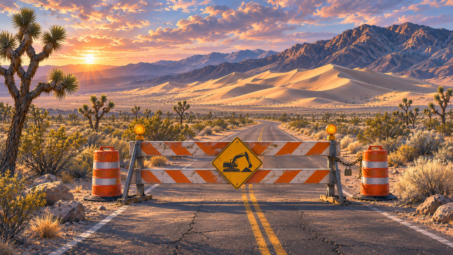
AI-generated editorial illustration of the Kelbaker Road closure in the Mojave. Illustration
South Kelbaker Road in Mojave National Preserve closed on Monday, Nov. 16, between Kelso and the preserve's southern boundary near Interstate 40. It is the first phase of a project to rebuild about 42 miles of Kelso-Cima Road and South Kelbaker Road, where the pavement is breaking up, shoulders are narrow and flash floods wash over the road.
The closure cuts the usual route from I-40 to Kelso Dunes. The Kelso Dunes and Granite Pass/Kelbaker Boulders primitive camping areas are closed until this phase is done. The park's conditions page lists the dunes access road as closed in one table and the dunes road and trails as open in another, so ask a ranger before planning a dunes hike.
Kelbaker Road north of Kelso, toward Baker, is open but has potholes and washed-out shoulders. Kelso-Cima Road is open. Hole-in-the-Wall and Mid Hills campgrounds are open. Hart Mine Road is closed by heavy damage. The park warns that GPS apps may send drivers onto unsuitable dirt roads, and says the closures can add a lot of driving time.
The park and its sources differ on timing. The conditions page says this closure will last 12 to 18 months and the project should finish in 2029. The Nov. 16 news release says work will run in phases through late 2028. The project costs $66.5 million, including $38.3 million from the Great American Outdoors Act's Legacy Restoration Fund. It broke ground at Kelso Depot on Nov. 14.
Check the preserve's Alerts and Conditions page before driving in, and Caltrans or Nevada 511 for roads outside the preserve.
advisorySeasonal closures on Game and Fish habitat management areasStatewide, WyomingDates vary by area. Vehicle closures already in force at Morgan Creek, Pennock Mountain, Kerns and Amsden Creek; no human presence at Greys River, Jackson and Pinedale areas from Dec. 1checked Nov 17
Some habitat areas are already closed to vehicles, and most of the big closures to all people begin Dec. 1. Not all of the agency's 500,000 acres close.
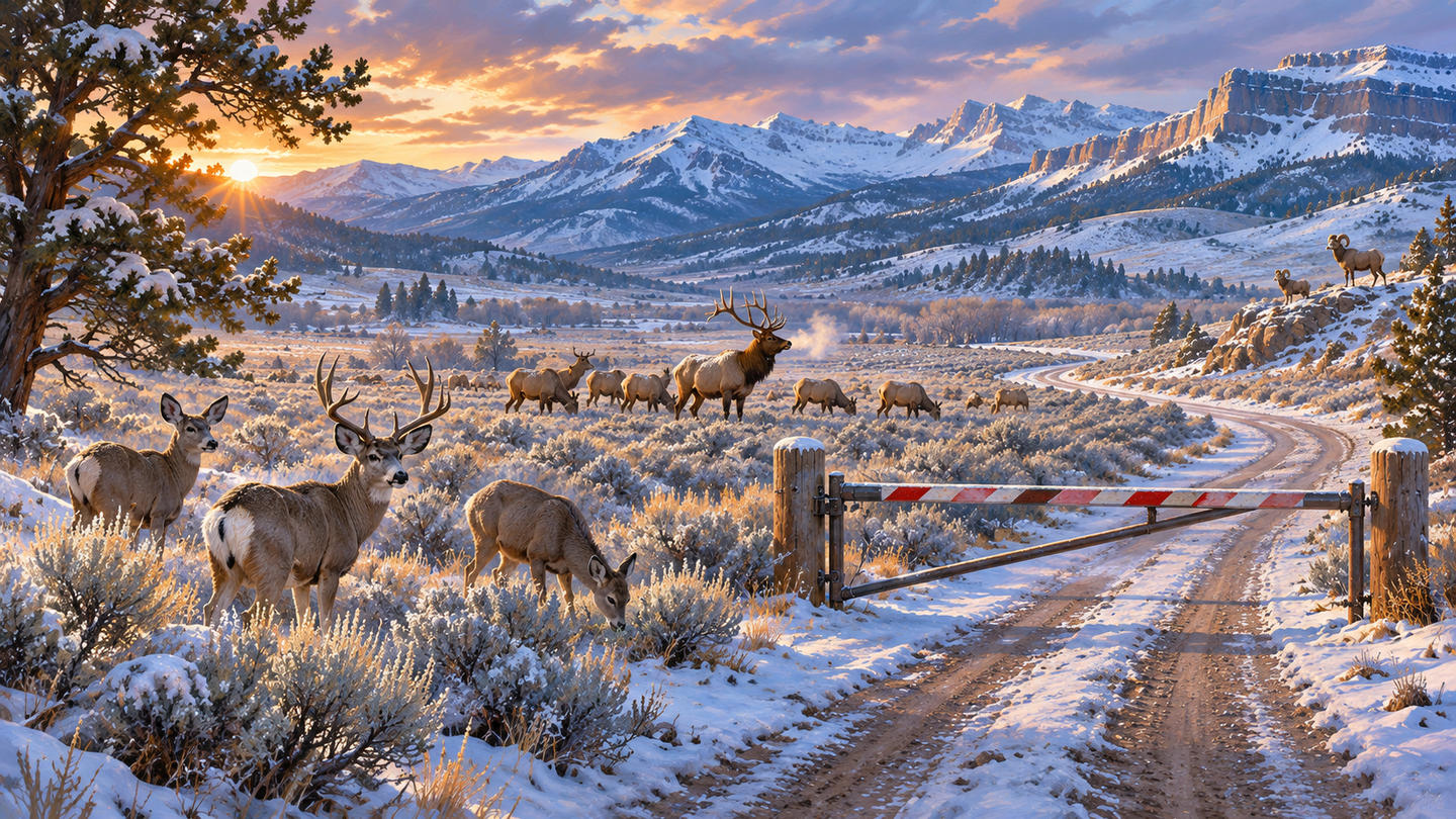
AI-generated editorial illustration of wildlife on Wyoming winter range. Illustration
The Wyoming Game and Fish Department's winter closures on its Wildlife Habitat Management Areas are under way, and most of the larger ones start Dec. 1. The closures keep people off winter range so deer, elk and bighorn sheep can reach forage without being pushed around.
A widely shared story this week said the closures shut 500,000 acres. That figure is the total area Game and Fish manages through its habitat areas, not the area that closes. Closure dates and rules differ by unit, and the department lists more than a dozen areas, including Ocean Lake, Table Mountain and Red Rim/Daley, that stay open all year, some with their own vehicle limits.
Some closures are already in force. Morgan Creek near Rawlins has been closed to vehicles since Nov. 1 and Pennock Mountain near Saratoga since Nov. 15. Kerns near Sheridan has been closed to vehicles since Nov. 1, and Amsden Creek near Sheridan closed to vehicles on Nov. 16. All four stay open to people on foot or horseback for now.
From Dec. 1 until 6 a.m. May 1, no one may enter Greys River near Alpine, Camp Creek and Horse Creek near Jackson, or Half Moon, Soda Lake, Fall Creek, Black Butte and Luke Lynch near Pinedale. Red Canyon near Lander closes to all people Dec. 1 through April 30, and Sunlight near Cody from 8 a.m. Dec. 16, though fishing on Sunlight Creek stays open. More areas close Jan. 1 and Feb. 1, including South Park near Jackson, Forbes/Sheep Mountain near Albany and Pilot Hill near Laramie.
Shed hunters and hikers should check each area's dates on the Game and Fish public access page before going. Closures generally run into May or June.
The World Surf League streamed the fourth day of competition at the Taiwan Open of Surfing live, and the replay is on its channel. The league also posted a short film of Coco Ho surfing a wave pool in the desert at Palm Springs. Its weekly show The Lineup looks at a close call at Cloud 9 and the first Philippine Pro on the Championship Tour.
Videos play from the creator's own YouTube channel. Outdoor Unc does not take payment to feature a video.
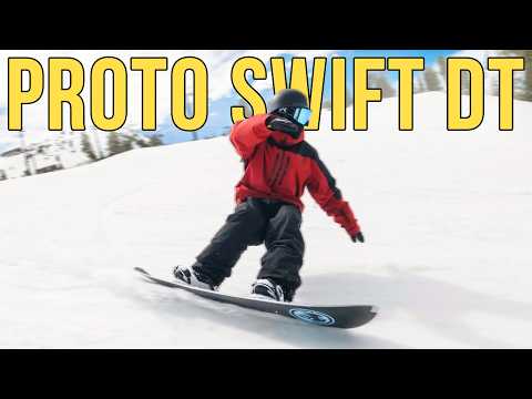
Board Archive reviews Never Summer's Proto Swift DT. Angry Snowboarder reviews the 2027 Jones Mountain Twin Pro and goes through K2's 2027 women's Theory boot. All three videos' descriptions include sponsor or affiliate links.
Videos play from the creator's own YouTube channel. Outdoor Unc does not take payment to feature a video.
MeatEater opens its 14th season with the first part of a trip to Nunavut, built around a seal hunt. Midwest Whitetail's weekly episode is about first-time buck fever and a buck in a classic rut funnel. Randy Newberg gives his view on Sitka rain gear before you buy it. The Newberg video's description includes sponsor or affiliate links.
Videos play from the creator's own YouTube channel. Outdoor Unc does not take payment to feature a video.
Kit Badger takes a first look at new magazines and new hearing protection. Justin Outdoors reviews Decathlon's MT100 as a budget backpacking pack; his video description carries sponsored or affiliate links, and he discloses gear sent for review.
Videos play from the creator's own YouTube channel. Outdoor Unc does not take payment to feature a video.
Tactical Bassin' picks fishing rods from beginner to high-end prices in its 2026 buyer's guide. Lunkers TV fishes an abandoned rock quarry to see whether it holds big fish. Both videos' descriptions include sponsor or affiliate links.
Videos play from the creator's own YouTube channel. Outdoor Unc does not take payment to feature a video.